
Building Surveys
Measured building surveys — plans, elevations and sections taken from a scan of the structure as it actually stands today.
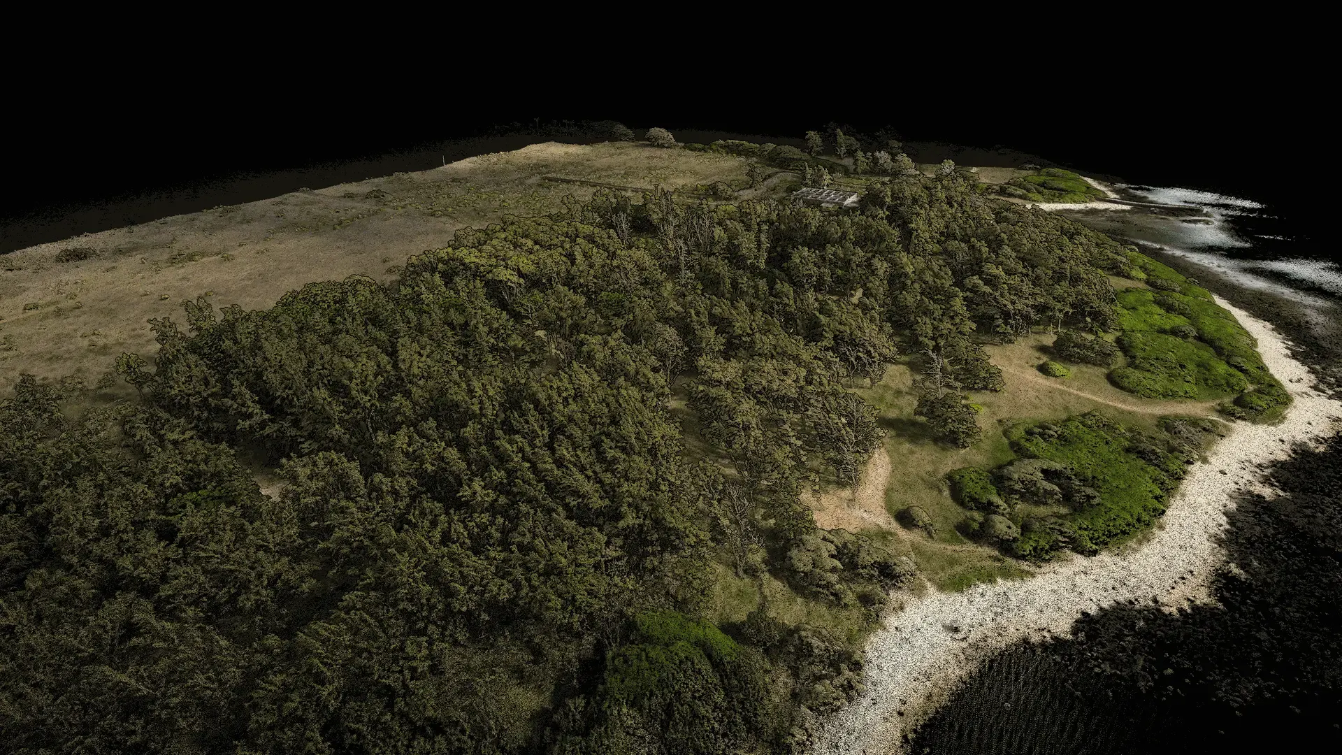
Reality capture · Mauritius
We capture sites, buildings and terrain with high-density LiDAR, then turn the resulting point clouds into the specific answer you need — a volume, a model, a surface, a millimetre of movement.
What we do
Most of our work is three things: measured building surveys, volumetric surveys and topographic survey. They lead the list below.
All of it starts the same way — with the decision you are trying to make, working backwards to the capture method and the deliverable that will actually settle it.
Measured building surveys — plans, elevations and sections taken from a scan of the structure as it actually stands today.
Defensible stockpile, tank and reservoir volumes from measured surfaces — repeatable to the same method every cycle.
Survey-grade topographic mapping and terrain models from georeferenced high-density point clouds, ready for drainage, earthworks and design.
Full-frame 45 MP aerial survey with the DJI Zenmuse P1 — true-colour orthomosaics and photorealistic 3D models at centimetre resolution.
Data-rich 3D building models built from measured reality, not from drawings that stopped being true years ago.
Change detection between repeat captures — quantified movement, settlement and deterioration instead of a visual opinion.
Tree height, canopy extent and trunk position measured individually, so planning decisions are made on evidence rather than estimates.
Measured floor plates, clear heights and circulation routes that let you test a layout before committing to it.
Turning survey data into a living spatial system your team can query, update and share — not another folder of files nobody opens.
How we capture
Our scanner is not a single-beam profiler tracing one flat line. It fires many beams at once and rotates as it does, so it captures a near-spherical volume from wherever it stands — and it works out its own position from the scan data, with no satellite fix required.
That is why the same instrument can be carried, driven or flown. A site with an indoor half and an outdoor half is one survey and one dataset, not two stitched together.
Carried at walking pace, indoors and out. The sensor positions itself from its own scan data, so covered sheds, plant rooms and dense urban sites need no satellite fix.
Corridor capture at driving speed. Roads, estates and port yards covered in a fraction of the time a walk would take.
Elevated coverage of open terrain, roofs and vegetation — including the ground beneath a closed canopy.
A 45 MP full-frame Zenmuse P1 for true-colour orthomosaics and photorealistic models. Flown alongside LiDAR where a site needs both.
The data
Millions of individual measurements, each one an exact position in three dimensions where a laser pulse struck a real surface. Together they form a digital replica precise enough to measure against — remotely, repeatedly, and long after the survey team has left.
That is the part worth understanding: the dataset keeps answering questions. A section you did not know you needed, a clearance you forgot to check, a volume from eighteen months ago — all queries against data you already own.
Explore the technology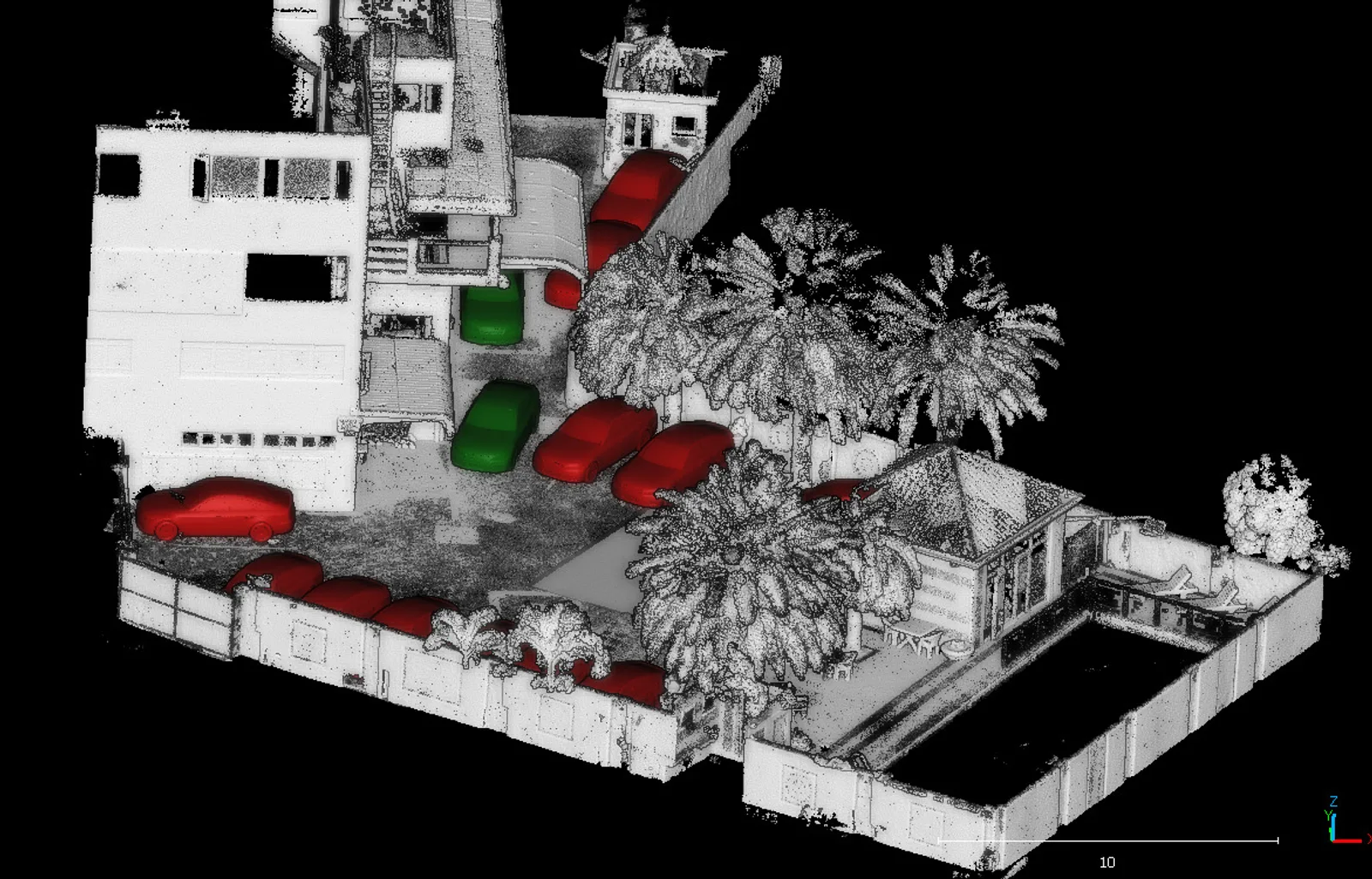
Sample data
Two datasets published in full, with the capture method and point count stated. Judge the density for yourself.
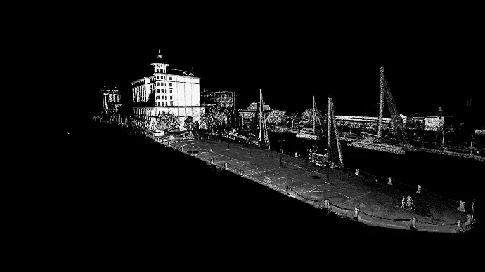
A damaged quay captured on foot at high density, giving engineers a measurable above-water plan to design repairs against.
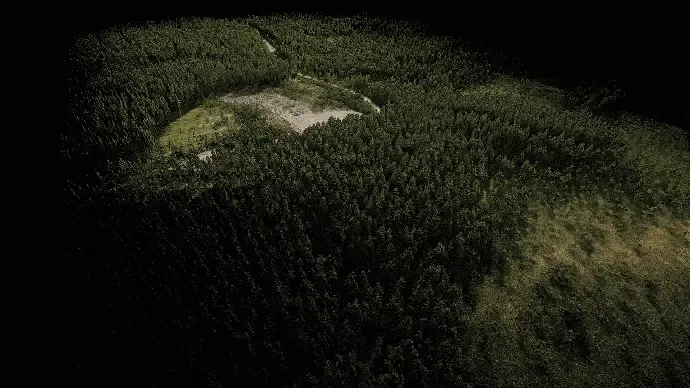
A UAV capture returning both canopy structure and the ground beneath it, from a single flight over closed-canopy plantation.
Sectors
The physics is the same everywhere. What changes is the question, the access constraints and the deliverable.
Trusted by teams across Mauritius



Tell us what you need to know about it. We will tell you which capture method fits, what it will produce, and what it will cost — before anyone mobilises.